Ka Pae `Aina O Hawai`i Nei
The Hawaiian Archipelago
Ni`ihau, Kaua`i, O`ahu, Moloka`i, Lanai, Kaho`olawe, Maui, and Hawai`i
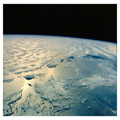
are the main inhabited islands of the Hawaiian Archipelago, shown below from nearest to farthest.

Ni`ihau, Kaua`i, O`ahu, Moloka`i, Lanai, Kaho`olawe, Maui, and Hawai`i
are the main inhabited islands of the Hawaiian Archipelago, shown below from nearest to farthest.

"Ka Pae `Aina O Hawai`i Nei (the Hawaiian Archipelago) comprises 132 islands, reefs and shoals, stretching 1,523 miles (2,451 kilometers) southeast to northwest across the Tropic of Cancer between 154 40' to 178 25' W longitude and 18 54' to 28 15' N latitude, consisting approximately of a total land area of 6,425 square miles (16,642 square kilometers), including 1 percent of less than six square miles of land area made up of islands off the shores of the main islands and the Northwestern Hawaiian Islands, from Kure Atoll in the North to Nihoa in the South, also Palmyra Island, Midway and Wake Islands, and all Lands that have resided with the Kanaka Maoli since time immemorial. The Hawaiian Islands form an Archipelago, which extends over a vast area of the Pacific Ocean, possessing a 12 mile Territorial Sea, and the 200 mile Exclusive Economic Zone, in accordance with generally recognized standards of international law."

For many other space and aerial images of Hawai`i, visit Virtually Hawaii 

 Return to the Hawaiian Independence Home Page or the Images Index